A waterfront changing its use
Along the way, transport buildings and piers reveal their cultural and public uses. Ferry Building remains connected with ferries, the Exploratorium occupies a waterfront site, and visitor-oriented piers appear farther along. Boarding a vessel is unnecessary to understand this sequence
Where to pause
Pier 39 calls for more attention to pedestrian flows than the earlier Embarcadero sections. Aquatic Park opens out into a broader space. From there, Ghirardelli’s brick buildings provide an architectural finish without making a purchase or restaurant stop compulsory
Stops in route order
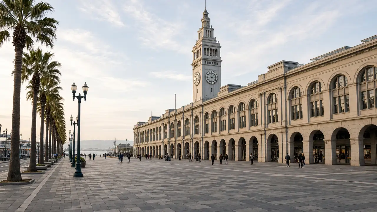
San Francisco Ferry Building — Terminal with a clock tower on the Embarcadero waterfront. No ferry is needed for the walk; view the tower from the plaza
Exploratorium — Science museum in the Pier 15 waterfront building. Plan exhibitions separately from the waterfront walk
SS Jeremiah O'Brien — Preserved Liberty cargo ship beside the waterfront. Check boarding access and the current berth separately
Pier 39 — Waterfront complex with timber piers and bay views. Keep viewing areas clear near the sea-lion docks
Aquatic Park Historic District — Historic park with a beach and maritime structures. The walk follows the shore; swimming is not part of the route
Ghirardelli Square — Former chocolate-factory complex beside Aquatic Park. Compare the brick factory buildings with the waterfront setting
Access and planning
Waterfront wind can feel different from conditions in sheltered blocks. Check museum-ship and Exploratorium access separately, including Jeremiah O’Brien’s current berth. Stay off closed working piers
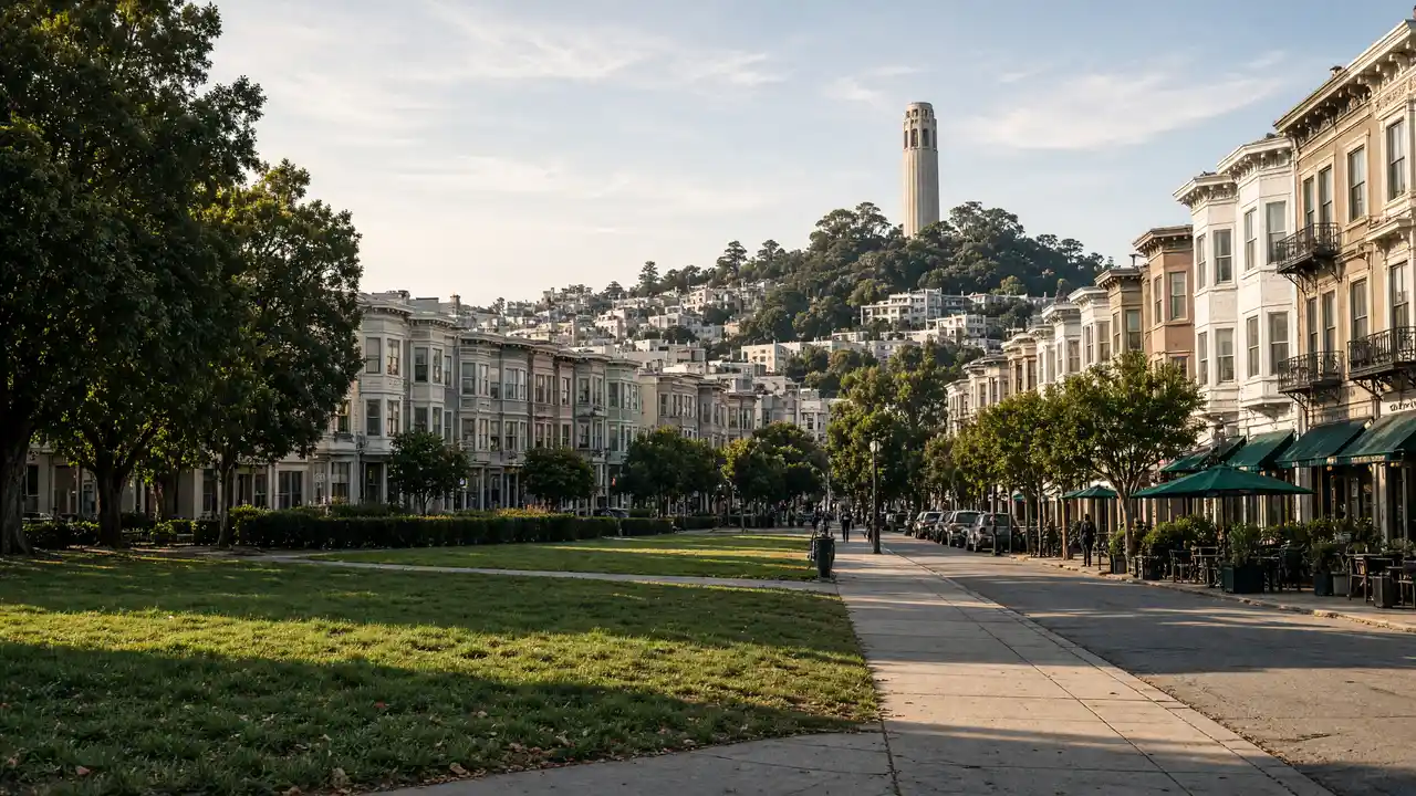
Continue towards Fort Mason, or choose North Beach and Coit Tower for a change of terrain
Map and stops
The numbered markers match the stops below. A marker does not guarantee an open entrance
Access: Approach or exterior view; admission to the interior is not confirmed
San Francisco Ferry Building
Terminal with a clock tower on the Embarcadero waterfront
No ferry is needed for the walk; view the tower from the plaza
Show on the city map ↗Exploratorium
Science museum in the Pier 15 waterfront building
Plan exhibitions separately from the waterfront walk
Show on the city map ↗SS Jeremiah O'Brien
Preserved Liberty cargo ship beside the waterfront
Check boarding access and the current berth separately
Show on the city map ↗Pier 39
Waterfront complex with timber piers and bay views
Keep viewing areas clear near the sea-lion docks
Show on the city map ↗Aquatic Park Historic District
Historic park with a beach and maritime structures
The walk follows the shore; swimming is not part of the route
Show on the city map ↗Ghirardelli Square
Former chocolate-factory complex beside Aquatic Park
Compare the brick factory buildings with the waterfront setting
Show on the city map ↗
Before the walk
- Mostly waterfront pavements, exposed to bay winds
- Walking time excludes exhibitions, queues and long breaks
- Calculated using the OSM pedestrian network; not verified by an on-site walk
- View buildings from outside; closed courtyards and interior passages are not essential parts of the walk
Check hours, tickets and access with each venue. Barriers may change the track and queues may add time. Accessibility has not been surveyed on site
Questions before the walk
How long is this walk?
The mapped route is 4.7 km, with about 70 minutes of walking at an assumed 4.2 km/h. Breaks, visits and terrain can increase the total time
What should be checked before setting out?
Waterfront wind can feel different from conditions in sheltered blocks. Check museum-ship and Exploratorium access separately, including Jeremiah O’Brien’s current berth. Stay off closed working piers
How can the walk be shortened or continued?
Continue towards Fort Mason, or choose North Beach and Coit Tower for a change of terrain
Sources and verification
Written by walkymap from remotely checked sources. No on-site walk is claimed
en.wikipedia.org — San Francisco Ferry Building ·
en.wikipedia.org — Exploratorium ·
en.wikipedia.org — SS Jeremiah O'Brien ·
en.wikipedia.org — Aquatic Park Historic District ·
en.wikipedia.org — Ghirardelli Square ·
© OpenStreetMap contributors · ODbL. Track geometry and distance are from the route dataset
Elevation estimate: Mapterhorn. Terrain model; stairs and small changes in level may be missed