Start and MRT connections
Start at the Merlion in front of Fullerton Hotel. Singapore Tourism Board lists Raffles Place as the nearest MRT station. The approach from the station is outside the recorded route distance
Choose the onward MRT connection separately after the gardens. Bayfront MRT connects through the Exit B linkway and Dragonfly or Meadow Bridge. Gardens by the Bay MRT is another option, via Exit 1
Between the stops
Cross from the Merlion towards Esplanade, then follow the waterfront to Helix Bridge. Cross the bridge → view ArtScience from outside → continue to Marina Bay Sands and the gardens
From the ArtScience side, the official gardens website describes a path under East Coast Parkway. Bridge construction currently requires a pedestrian diversion along Waterfront Promenade; follow the temporary signs
Daytime or evening
Daylight makes the Helix structure and opposite waterfront easier to see, but the promenades are exposed to the sun. In the evening, allow time by the water and check any show schedule before departure
ArtScience exhibitions, conservatories, OCBC Skyway and observation decks are separate visits. Tickets and queues are outside the walking-time estimate
Map and stops
The numbered markers match the stops below. A marker does not guarantee an open entrance
Access: Approach or exterior view; admission to the interior is not confirmed
Merlion Park
An 8.6-metre statue with a lion’s head and a fish’s body at Marina Bay, beside the Singapore River waterfront
Approach from Raffles Place MRT and keep the waterfront passage beside the fountain clear
Show on the city map ↗Esplanade – Theatres on the Bay
A performing-arts centre beside Marina Bay. Visual-art exhibitions line the underground Esplanade Tunnel
Walk from City Hall MRT through CityLink Mall and Esplanade Tunnel; plan any performance separately
Show on the city map ↗Helix Bridge
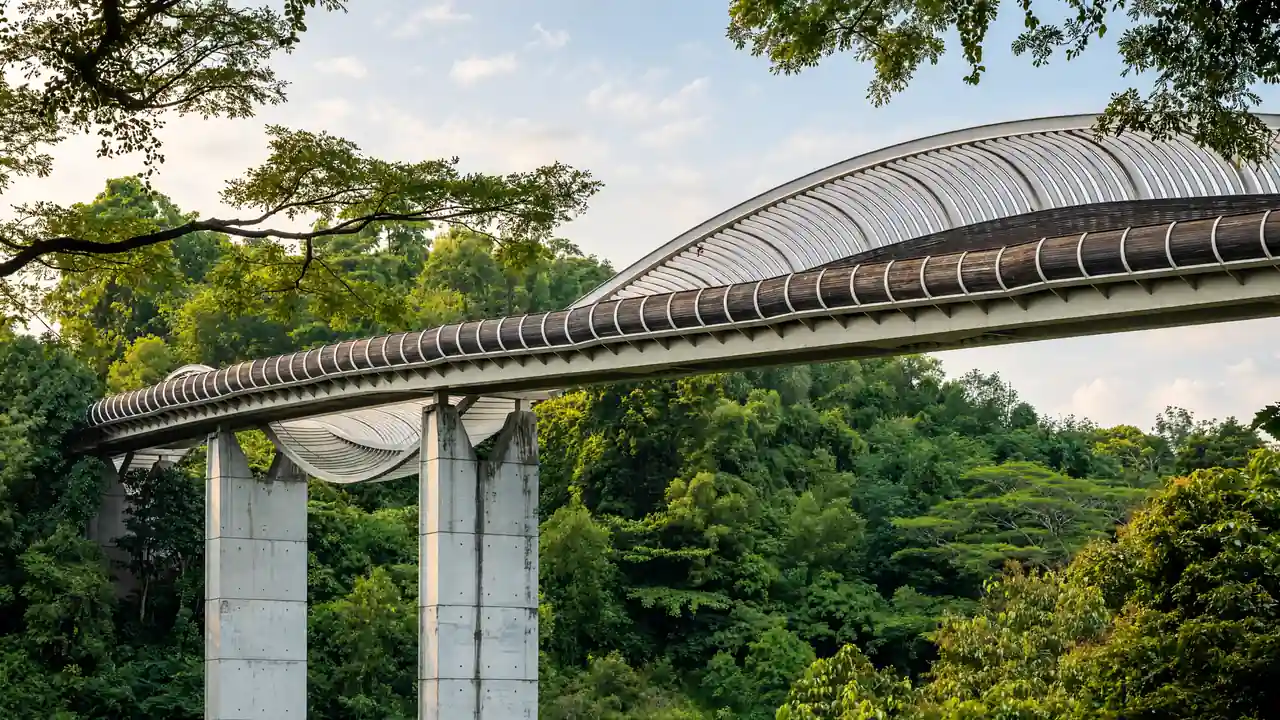
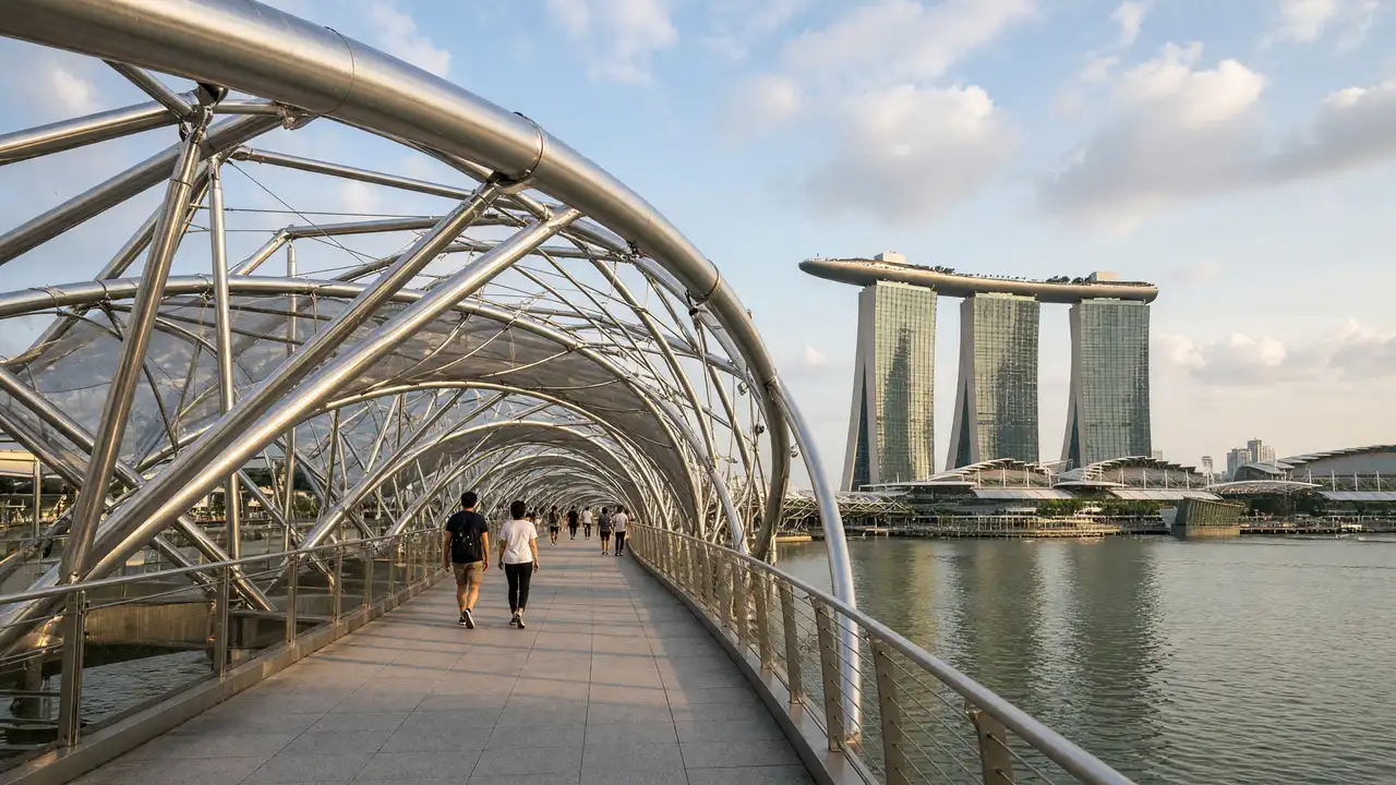
Pedestrian bridge with a double metal helix above the water
Use the widened viewing platforms for photo stops
Show on the city map ↗ArtScience Museum
White lotus-shaped museum beside the bay
Treat the exterior stop separately from exhibition admission
Show on the city map ↗Marina Bay Sands
Three hotel towers joined by a long rooftop platform
View the three towers from the promenade; rooftop admission is separate
Show on the city map ↗Gardens by the Bay
Urban gardens with the vertical structures of the Supertrees
Distinguish the ground-level walk from ticketed conservatories and elevated walkways
Show on the city map ↗
Before the walk
- Carry water and sun protection
- Check current diversions on the Gardens by the Bay website
- Bring water and take shaded breaks on exposed sections; postpone waterfront walking during thunderstorms
- Bridge construction requires a pedestrian diversion along Waterfront Promenade at Gardens by the Bay; follow temporary signs
Check hours, tickets and access with each venue. Barriers may change the track and queues may add time. Accessibility has not been surveyed on site
Questions before the walk
Is this a complete loop around Marina Bay?
No. The track starts at the Merlion and ends in Gardens by the Bay. The return to the start is outside the 3.3 km distance
How can the walk be shortened?
Finish after ArtScience, before the Marina Bay Sands and gardens section. A separate distance has not been calculated for this version
Is a ticket needed for Gardens by the Bay?
The outdoor gardens are free to enter. Conservatories, OCBC Skyway and Supertree Observatory have separate admission arrangements
Sources and verification
Written by walkymap from remotely checked sources. No on-site walk is claimed
Singapore Tourism Board — Marina Bay ·
en.wikipedia.org — Merlion Park ·
en.wikipedia.org — Esplanade – Theatres on the Bay ·
en.wikipedia.org — Helix Bridge ·
en.wikipedia.org — ArtScience Museum ·
en.wikipedia.org — Marina Bay Sands ·
en.wikipedia.org — Gardens by the Bay ·
Singapore Tourism Board — Merlion Park ·
Gardens by the Bay — Getting Here & Parking ·
Gardens by the Bay — Attractions ·
© OpenStreetMap contributors · ODbL. Track geometry and distance are from the route dataset
Elevation estimate: Mapterhorn. Terrain model; stairs and small changes in level may be missed