Start on Mount Faber
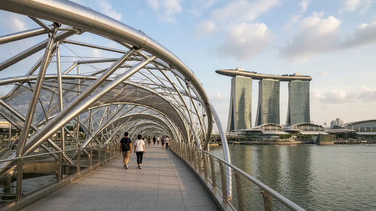
The hill overlooks the harbour and Sentosa. The mapped walk connects the hills without a cable-car journey
Cross Henderson Waves
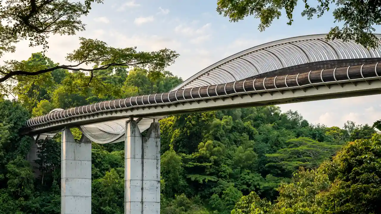
The bridge passes over Henderson Road. Wooden ribs form its wave-shaped shell; stop in widened sections while keeping the path clear
Finish on Telok Blangah Hill
After the bridge, continue uphill into Telok Blangah Hill Park. NParks has published a Forest Walk closure notice following a slope failure; that section is excluded from this track
Map and stops
The numbered markers match the stops below. A marker does not guarantee an open entrance
Access: Approach or exterior view; admission to the interior is not confirmed
Mount Faber
Green hill overlooking the harbour and Sentosa
Stop for the view in an open public area; stay outside barriers
Show on the city map ↗Henderson Waves
Footbridge with wave-shaped wooden ribs above the road
View the architecture from a public approach; check interior access separately
Show on the city map ↗Telok Blangah Hill Park
Terraces and wooded paths on the Southern Ridges hills
Check NParks restrictions before walking; Forest Walk is not part of this route
Show on the city map ↗
Before the walk
- Check current NParks restrictions before setting out
- Allow for climbs and steps; bring water before entering the park
Check hours, tickets and access with each venue. Barriers may change the track and queues may add time. Accessibility has not been surveyed on site
Questions before the walk
Is this the full Southern Ridges route?
No, only Mount Faber, Henderson Waves and Telok Blangah Hill; Forest Walk and HortPark are excluded
Is the route suitable for wheelchairs?
Step-free passage is not confirmed; NParks lists Telok Blangah Hill Park as having no wheelchair access
Sources and verification
Written by walkymap from remotely checked sources. No on-site walk is claimed
NParks Forest Walk notice — NParks Forest Walk notice ·
© OpenStreetMap contributors · ODbL. Track geometry and distance are from the route dataset
Elevation estimate: Mapterhorn. Terrain model; stairs and small changes in level may be missed