First walk
Porto: Sé, Ribeira and the Douro waterfront
From São Bento station past the cathedral to Dom Luís I Bridge, the waterfront and the Stock Exchange Palace. Stops, walking map, terrain and GPX for an independent walk
Ribeira, azulejos and Douro views. 11 walks, 30 places. Area guides and walking routes
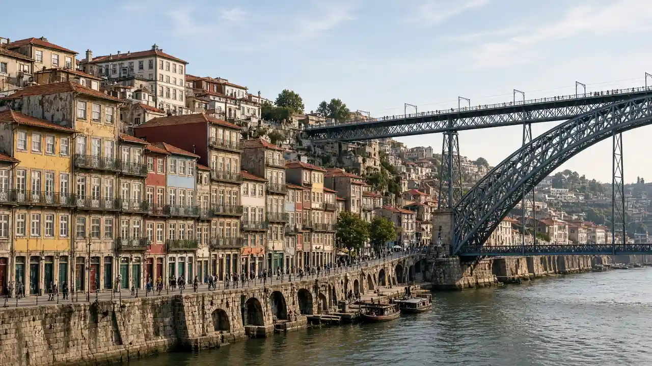
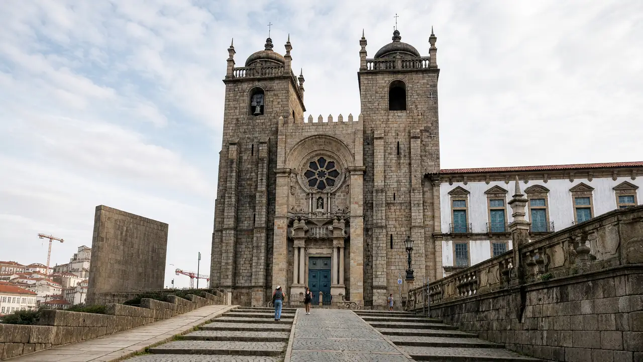
From São Bento station past the cathedral to Dom Luís I Bridge, the waterfront and the Stock Exchange Palace. Stops, walking map, terrain and GPX for an independent walk
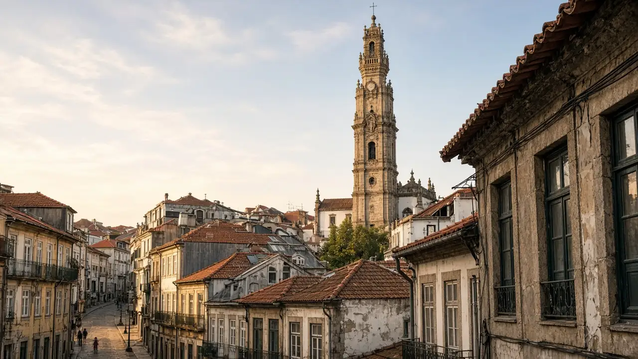
Chapel of Souls, Bolhão Market, São Bento and tiled facades around Clérigos. Stops, walking map, terrain and GPX for an independent walk
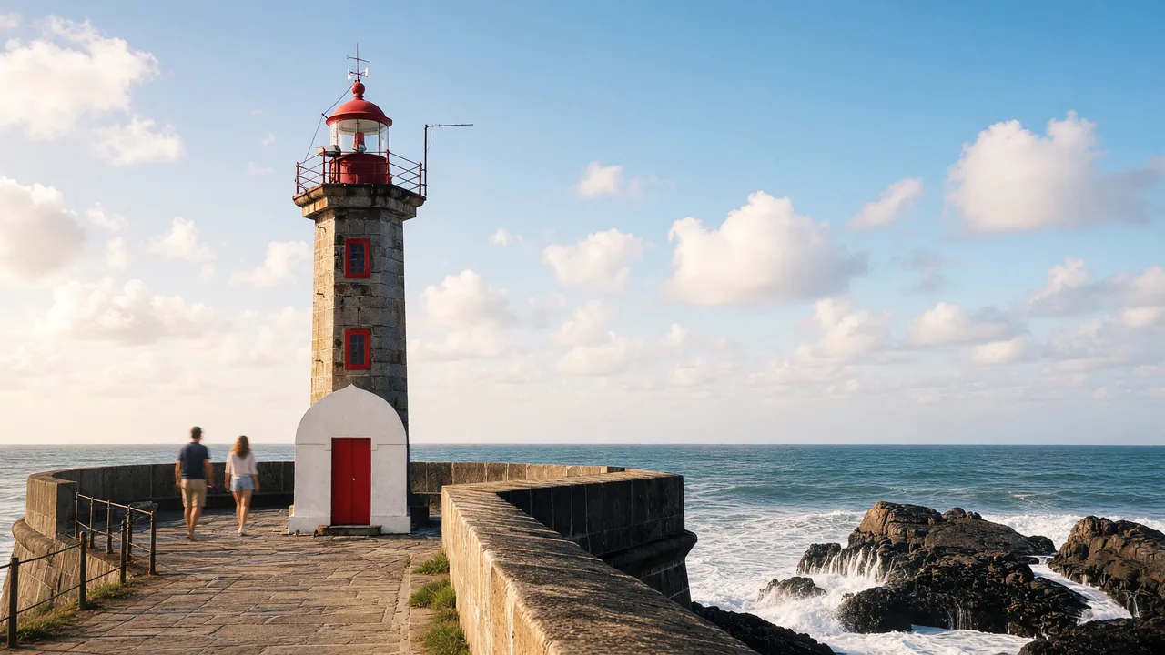
Walk through Passeio Alegre past the São João Baptista fortress towards Felgueiras, with a safe shore-side finish when the sea is rough
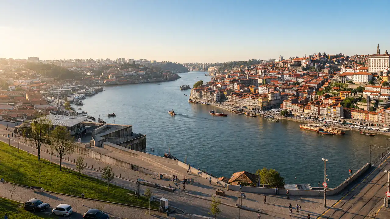
A short walking map above the Douro, with bridge-level advice and a clear distinction from the riverside wine-cellar district
From São Bento station past the cathedral to Dom Luís I Bridge, the waterfront and the Stock Exchange Palace
Chapel of Souls, Bolhão Market, São Bento and tiled facades around Clérigos
The main stops from the first themed central walks; additional districts are covered by separate routes
The city hall vista, Livraria Lello and the upper centre’s cultural buildings
The cathedral heights, Santa Clara and lower Ribeira’s trading blocks
A former prison, a palace museum and a contemporary library in parkland
A modern concert hall, historic gardens and a library on the slope above the river
Casa da Música → Serralves
Passeio Alegre Garden → Fort of São João Baptista da Foz → Felgueiras Lighthouse
Dom Luís I Bridge → Serra do Pilar Monastery → Jardim do Morro
Church of Saint Ildefonso → São João National Theatre → Santa Clara Church → Guindais Funicular
Sources: tourism organisations, museums and heritage sites. Distance follows the walking track; time and elevation are estimates. Sources are checked remotely; an on-site walk has not been confirmed