The character of the walk
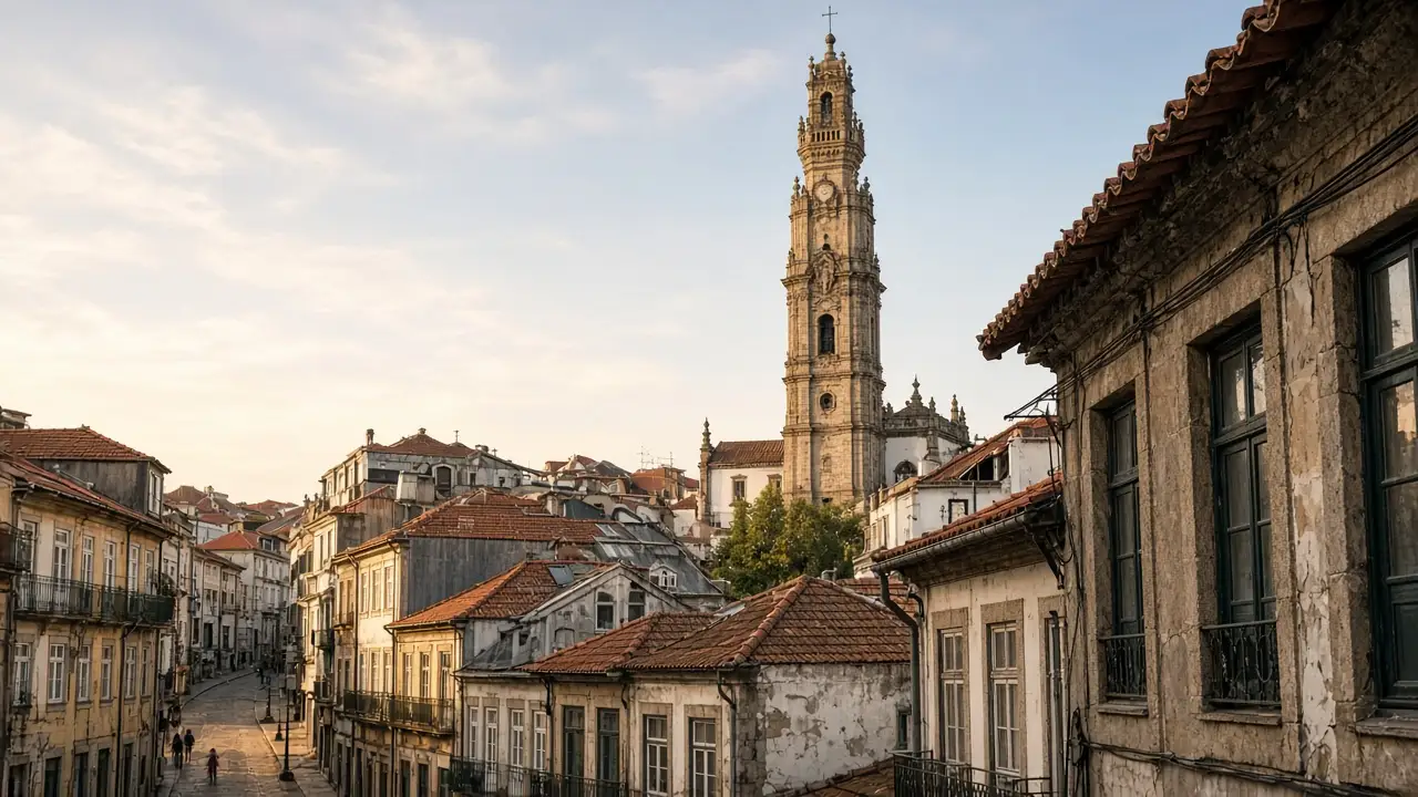
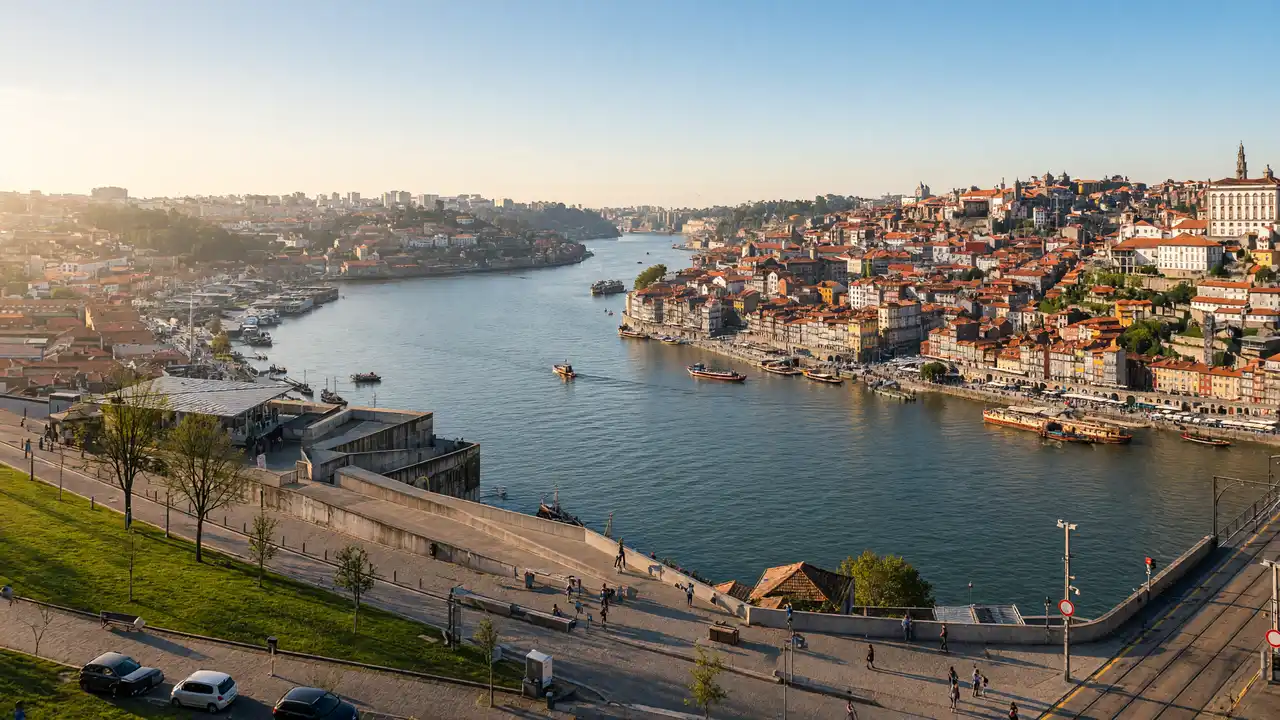
The descent from the cathedral changes the scale of the city: a view from the hill gives way to narrow streets and Ribeira facades. The bridge’s upper and lower decks need to be distinguished because nearby map markers can sit at different heights. This walk continues along the Porto bank; crossing to Gaia is not required to explore the waterfront
Landmarks along the way
São Bento railway station: a railway station with azulejo tile panels in its entrance hall; Porto Cathedral: the cathedral’s fortress-like silhouette above the historic quarters; Dom Luís I Bridge: a double-deck iron bridge linking Porto and Gaia
Ribeira Square: densely built historic streets beside the Douro waterfront; Church of São Francisco (Porto): a Gothic church beside the former exchange; Palácio da Bolsa: a monumental commercial association building beside Infante Square
Map and stops
The numbered markers match the stops below. A marker does not guarantee an open entrance
Access · 1, 2, 5, 6: Approach or exterior view; admission to the interior is not confirmed
Access · 3, 4: Outdoor stop; check access to the path on site
São Bento railway station
A railway station with azulejo tile panels in its entrance hall
Check the public hall for azulejos without unnecessarily entering platforms
Show on the city map ↗Porto Cathedral
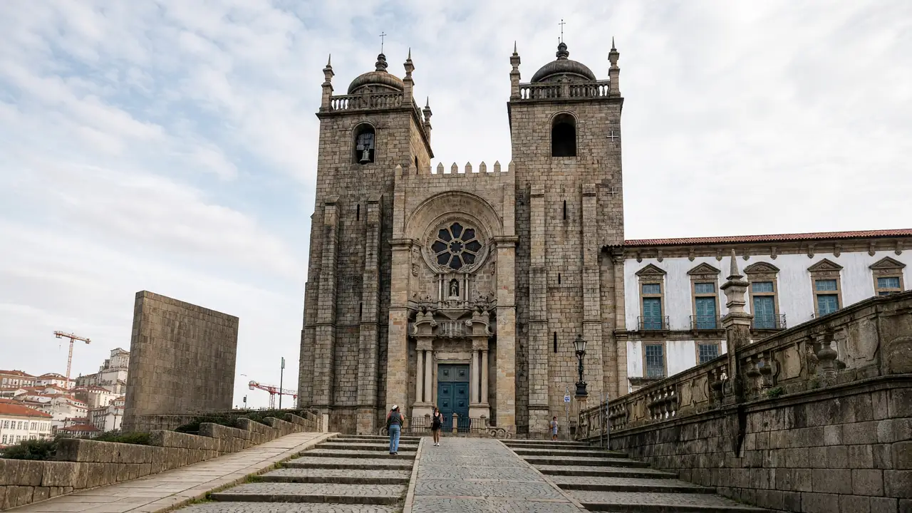
The cathedral’s fortress-like silhouette above the historic quarters
Explore the cathedral square before choosing a stepped descent
Show on the city map ↗Dom Luís I Bridge
A double-deck iron bridge linking Porto and Gaia
Choose the bridge deck in advance; stairs between levels are not a quick shortcut
Show on the city map ↗Ribeira Square
Densely built historic streets beside the Douro waterfront
Choose a waterside pause while keeping the embankment passage clear
Show on the city map ↗Church of São Francisco (Porto)
A Gothic church beside the former exchange
Compare the Gothic exterior with the neighbouring Stock Exchange Palace
Show on the city map ↗Palácio da Bolsa
A monumental commercial association building beside Infante Square
View the palace façade from the square; the formal rooms require separate entry
Show on the city map ↗
Before the walk
- Descents, climbs, stone paving and steps
- Allow separate time for interiors and follow signs at each entrance
- The line is calculated on the mapped pedestrian network; closures and private passages may change access
- The descent from the cathedral changes the scale of the city: a view from the hill gives way to narrow streets and Ribeira facades. The bridge’s upper and lower decks need to be distinguished because nearby map markers can sit at different heights. This walk continues along the Porto bank; crossing to Gaia is not required to explore the waterfront
Check hours, tickets and access with each venue. Barriers may change the track and queues may add time. Accessibility has not been surveyed on site
Questions before the walk
Where does the walk start and end?
São Bento railway station → Palácio da Bolsa
Does walking time include admission and visits?
No. Walking is estimated separately; tickets, exhibitions and opening times need individual checks
Sources and verification
Written by walkymap from remotely checked sources. No on-site walk is claimed
Visit Porto — Historic District ·
Wikipedia contributors — São Bento railway station ·
Wikipedia contributors — Porto Cathedral ·
Wikipedia contributors — Dom Luís I Bridge ·
Wikipedia contributors — Ribeira Square ·
Wikipedia contributors — Church of São Francisco (Porto) ·
Wikipedia contributors — Palácio da Bolsa ·
© OpenStreetMap contributors · ODbL. Track geometry and distance are from the route dataset
Elevation estimate: Mapterhorn. Terrain model; stairs and small changes in level may be missed