Cross at the right level
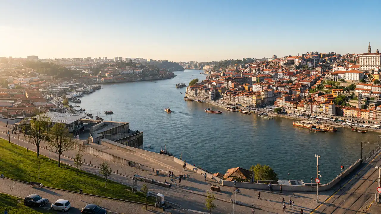
Start at Luís I Bridge and follow the mapped approach towards Serra do Pilar
The viewpoint route uses the upper-level area; the lower deck leads to a different riverside walk
Stay in the pedestrian space and keep clear of Metro tracks
Finish in Jardim do Morro
Continue from Serra do Pilar to Jardim do Morro
The monastery interior is a separate visit, while the route’s main purpose is the panorama
For a short finish, stop in the garden rather than adding the descent to the wine cellars
Map and stops
The numbered markers match the stops below. A marker does not guarantee an open entrance
Access: Approach or exterior view; admission to the interior is not confirmed
Dom Luís I Bridge
A double-deck iron bridge linking Porto and Gaia
Choose the bridge deck in advance; stairs between levels are not a quick shortcut
Show on the city map ↗Serra do Pilar Monastery
Circular church and viewpoint above the Dom Luís I Bridge
View the architecture from a public approach; check interior access separately
Show on the city map ↗Jardim do Morro
Garden on Gaia's high bank overlooking Ribeira
Stop for the view in an open public area; stay outside barriers
Show on the city map ↗
Before the walk
- Leave space for pedestrians at popular photo positions
- Check the mapped approach before choosing the bridge deck
Check hours, tickets and access with each venue. Barriers may change the track and queues may add time. Accessibility has not been surveyed on site
Questions before the walk
Does this include a port-wine cellar tour?
No, the cellars lie below this viewpoint route; a tasting and the journey down need separate planning
Which bridge level serves the viewpoints?
Use the upper-level area towards Serra do Pilar and Jardim do Morro, keeping to pedestrian space beside the Metro
Sources and verification
Written by walkymap from remotely checked sources. No on-site walk is claimed
Vila Nova de Gaia municipality — Heritage on the Douro slopes ·
Visit Porto — Luís I Bridge upper deck ·
© OpenStreetMap contributors · ODbL. Track geometry and distance are from the route dataset
Elevation estimate: Mapterhorn. Terrain model; stairs and small changes in level may be missed