The character of the walk
This walk focuses on urban details: the chapel’s tiles, the market’s trading passages and the stone tower of Clérigos. São Bento’s panels are inside a working station, so viewing them should leave passenger routes clear. Climbing the tower and visiting church interiors remain separate choices
Landmarks along the way
Chapel of Souls: a small chapel with tiled exterior walls; Mercado do Bolhão: a historic city market arranged around a courtyard; São Bento railway station: a railway station with azulejo tile panels in its entrance hall
Clérigos Church: a Baroque church with a tall stone tower; Carmo Church (Porto): a church facade decorated with blue-and-white tiles
Map and stops
The numbered markers match the stops below. A marker does not guarantee an open entrance
Access: Approach or exterior view; admission to the interior is not confirmed
Chapel of Souls
A small chapel with tiled exterior walls
Study the narrative azulejo panels from the pavement
Show on the city map ↗Mercado do Bolhão
A historic city market arranged around a courtyard
View the market exterior first; the trading rows may follow separate hours
Show on the city map ↗São Bento railway station
A railway station with azulejo tile panels in its entrance hall
Check the public hall for azulejos without unnecessarily entering platforms
Show on the city map ↗Clérigos Church
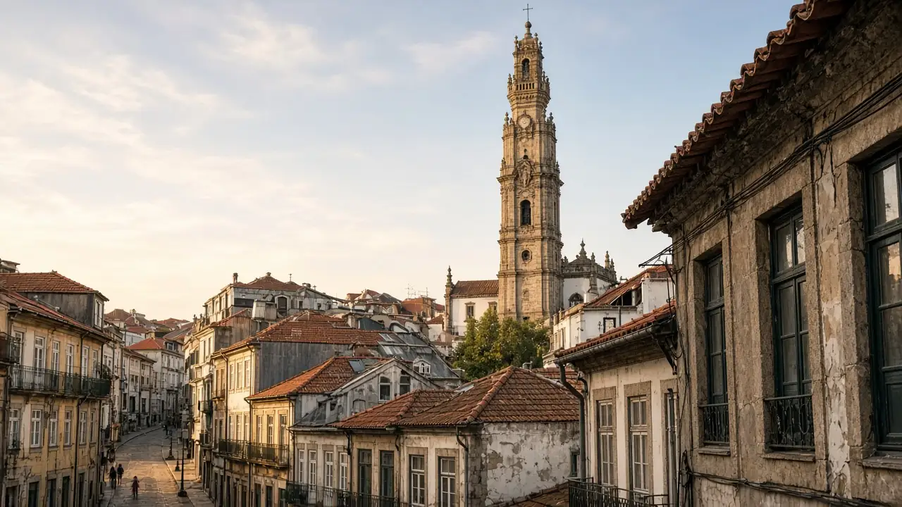
A Baroque church with a tall stone tower
The tower can be viewed from the street; check climbing access separately
Show on the city map ↗Carmo Church (Porto)
A church facade decorated with blue-and-white tiles
Compare the tiled side wall with the main stone façade
Show on the city map ↗
Before the walk
- Hilly streets and paving
- Allow separate time for interiors and follow signs at each entrance
- The line is calculated on the mapped pedestrian network; closures and private passages may change access
- This walk focuses on urban details: the chapel’s tiles, the market’s trading passages and the stone tower of Clérigos. São Bento’s panels are inside a working station, so viewing them should leave passenger routes clear. Climbing the tower and visiting church interiors remain separate choices
Check hours, tickets and access with each venue. Barriers may change the track and queues may add time. Accessibility has not been surveyed on site
Questions before the walk
Where does the walk start and end?
Chapel of Souls → Carmo Church (Porto)
Does walking time include admission and visits?
No. Walking is estimated separately; tickets, exhibitions and opening times need individual checks
Sources and verification
Written by walkymap from remotely checked sources. No on-site walk is claimed
Visit Porto — Historic District ·
OpenStreetMap contributors — Chapel of Souls ·
OpenStreetMap contributors — Mercado do Bolhão ·
Wikipedia contributors — São Bento railway station ·
Wikipedia contributors — Clérigos Church ·
OpenStreetMap contributors — Carmo Church (Porto) ·
© OpenStreetMap contributors · ODbL. Track geometry and distance are from the route dataset
Elevation estimate: Mapterhorn. Terrain model; stairs and small changes in level may be missed