Museum to coast
Start outside the Legion of Honor and follow the mapped paths towards Lands End
Museum entry is optional
Stay on signed paths and check current National Park Service restrictions; closed cliff-side shortcuts are not alternatives to the route
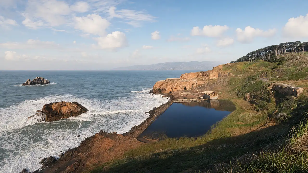
Finish above the baths
Continue towards the Sutro Baths site and choose a viewing position permitted by the signs on the day
The ruins are historic remains, not a bathing area
The track finishes here; allow separately for the return or public transport
Map and stops
The numbered markers match the stops below. A marker does not guarantee an open entrance
Access: Approach or exterior view; admission to the interior is not confirmed
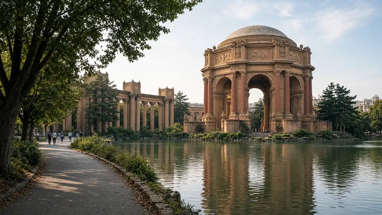
Legion of Honor
Art museum in a neoclassical palace on a Lincoln Park hill
Plan indoor visits separately; check the venue website for programmes and tickets
Show on the city map ↗Lands End
Coastal trails and cliffs overlooking the Golden Gate strait
Follow marked trails; check NPS closures and stay back from cliff edges
Show on the city map ↗Sutro Baths
Remains of a large seaside bathing complex beside the Pacific
View the architecture from a public approach; check interior access separately
Show on the city map ↗
Before the walk
- Carry a windproof layer and wear shoes with grip
- Turn back at closures instead of following the map through barriers
Check hours, tickets and access with each venue. Barriers may change the track and queues may add time. Accessibility has not been surveyed on site
Questions before the walk
Is this a flat waterfront promenade?
No, expect uneven coastal paths and changes in level; step-free access for the complete track is not confirmed
What if the coastal path is closed?
Stop at the closure and choose another open section using current National Park Service notices
Sources and verification
Written by walkymap from remotely checked sources. No on-site walk is claimed
National Park Service — Cliff House and Sutro Baths ·
National Park Service — Golden Gate: restrictions ·
© OpenStreetMap contributors · ODbL. Track geometry and distance are from the route dataset
Elevation estimate: Mapterhorn. Terrain model; stairs and small changes in level may be missed