Begin with the neighbourhood
Start at Mission Dolores, then continue to Dolores Park
A church visit is separate from the outdoor walk
From the park, follow the map to Clarion Alley and look at individual works without blocking residents’ access
Finish at Balmy Alley
Continue south through the neighbourhood to Balmy Alley
Murals change; use the map to find the alleys rather than expecting a fixed checklist of paintings
For a street-art-only outing, start at Clarion Alley and omit the mission and park
Map and stops
The numbered markers match the stops below. A marker does not guarantee an open entrance
Access: Approach or exterior view; admission to the interior is not confirmed
Mission Dolores
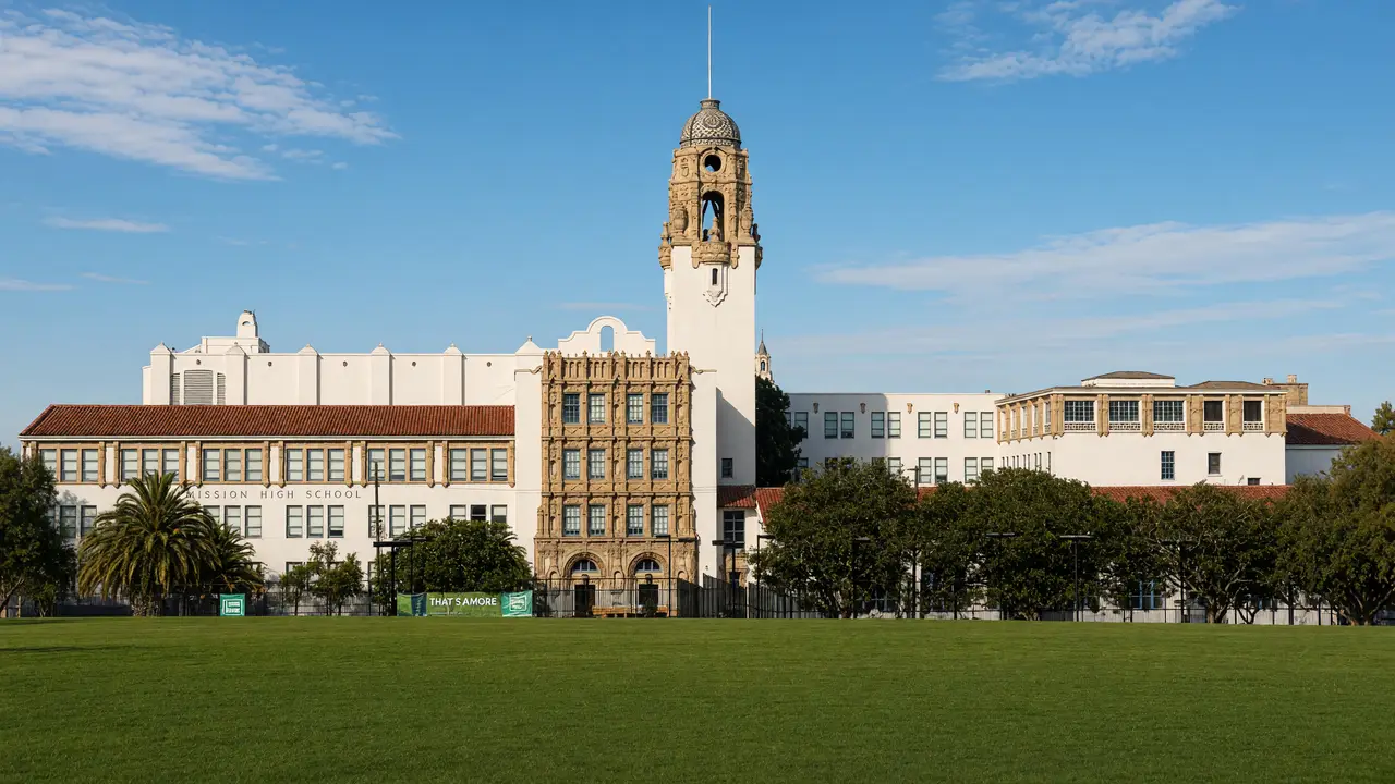
Historic Spanish mission with its surviving old chapel
View the architecture from a public approach; check interior access separately
Show on the city map ↗Mission Dolores Park
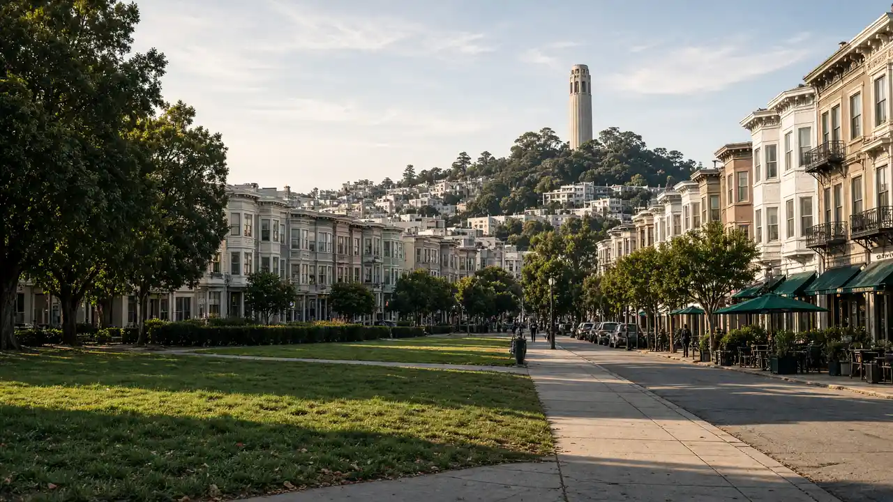
Sloping lawns with a panorama of downtown San Francisco
Follow open paths; check garden admission separately
Show on the city map ↗Clarion Alley
Mission District alley with changing community murals
Plan indoor visits separately; check the venue website for programmes and tickets
Show on the city map ↗Balmy Alley
Alley murals about Latin American history and community life
Plan indoor visits separately; check the venue website for programmes and tickets
Show on the city map ↗
Before the walk
- Photograph from public space and keep garage entrances clear
- Do not copy murals into commercial products without permission
Check hours, tickets and access with each venue. Barriers may change the track and queues may add time. Accessibility has not been surveyed on site
Questions before the walk
Are Clarion and Balmy the same alley?
No, they are separate stops with a street walk between them; the full route also includes Mission Dolores and Dolores Park
Will every mural match photographs found online?
Not necessarily, wall art changes; use the alleys as destinations rather than expecting an unchanged set of paintings
Sources and verification
Written by walkymap from remotely checked sources. No on-site walk is claimed
Visit California — San Francisco ·
© OpenStreetMap contributors · ODbL. Track geometry and distance are from the route dataset
Elevation estimate: Mapterhorn. Terrain model; stairs and small changes in level may be missed