Start at Alamo Square
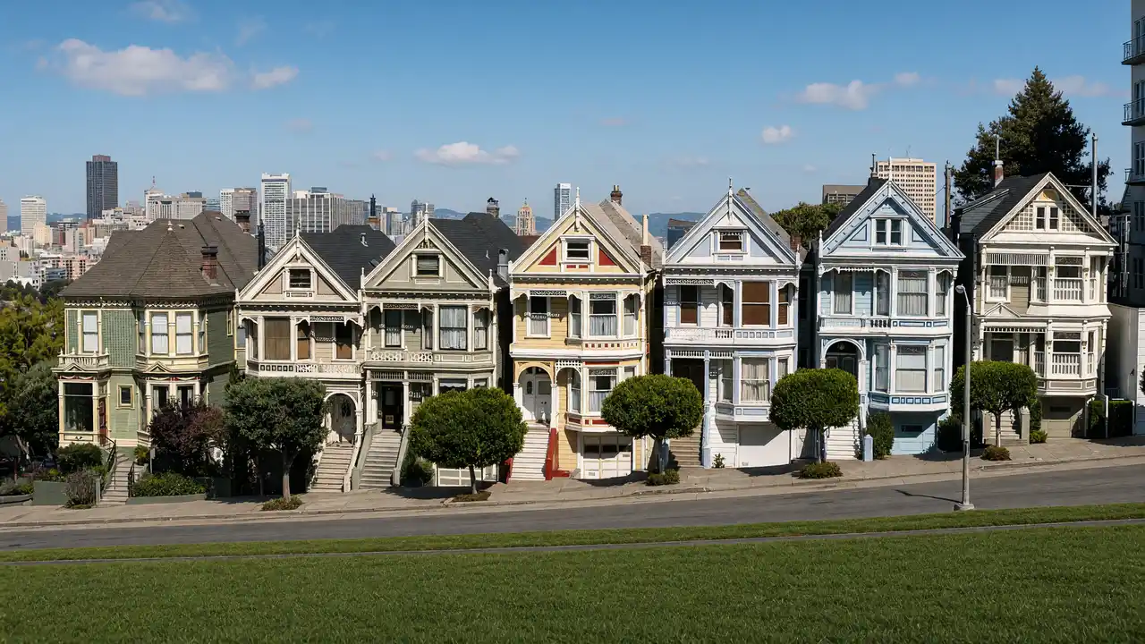
View the Painted Ladies from Alamo Square rather than their private steps
Move within the park to compare the rooflines with the downtown skyline
The houses remain residences; a photograph from public space is the default visit
Continue to a house museum
Follow the longer street section to Haas–Lilienthal House
Reserve its official tour separately when an interior visit matters
For a short outing, finish in Alamo Square; the museum is a distinct second destination, not the next house in the row
Map and stops
The numbered markers match the stops below. A marker does not guarantee an open entrance
Access: Approach or exterior view; admission to the interior is not confirmed
Painted Ladies
Row of colourful Victorian houses facing Alamo Square
Residential houses: view the façades from the park and pavement
Show on the city map ↗Alamo Square
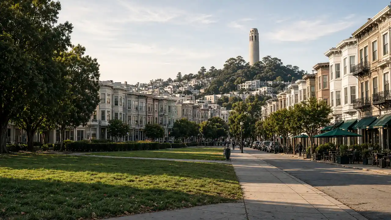
Hilltop park overlooking Victorian houses and downtown
Stop for the view in an open public area; stay outside barriers
Show on the city map ↗Haas–Lilienthal House
Preserved Victorian house with a turret and historic interior
View the architecture from a public approach; check interior access separately
Show on the city map ↗
Before the walk
- Expect hills between the two parts
- Check the house museum schedule before committing to the full walk
Check hours, tickets and access with each venue. Barriers may change the track and queues may add time. Accessibility has not been surveyed on site
Questions before the walk
Can the Painted Ladies be visited inside?
The route offers an exterior view of occupied homes; an interior visit belongs to the separate Haas–Lilienthal House stop
Which stop offers the simplest short outing?
Keep the Painted Ladies and Alamo Square together; the walk to Haas–Lilienthal House is an additional section
Sources and verification
Written by walkymap from remotely checked sources. No on-site walk is claimed
San Francisco Travel — Painted Ladies ·
SF Heritage — Haas–Lilienthal House ·
© OpenStreetMap contributors · ODbL. Track geometry and distance are from the route dataset
Elevation estimate: Mapterhorn. Terrain model; stairs and small changes in level may be missed